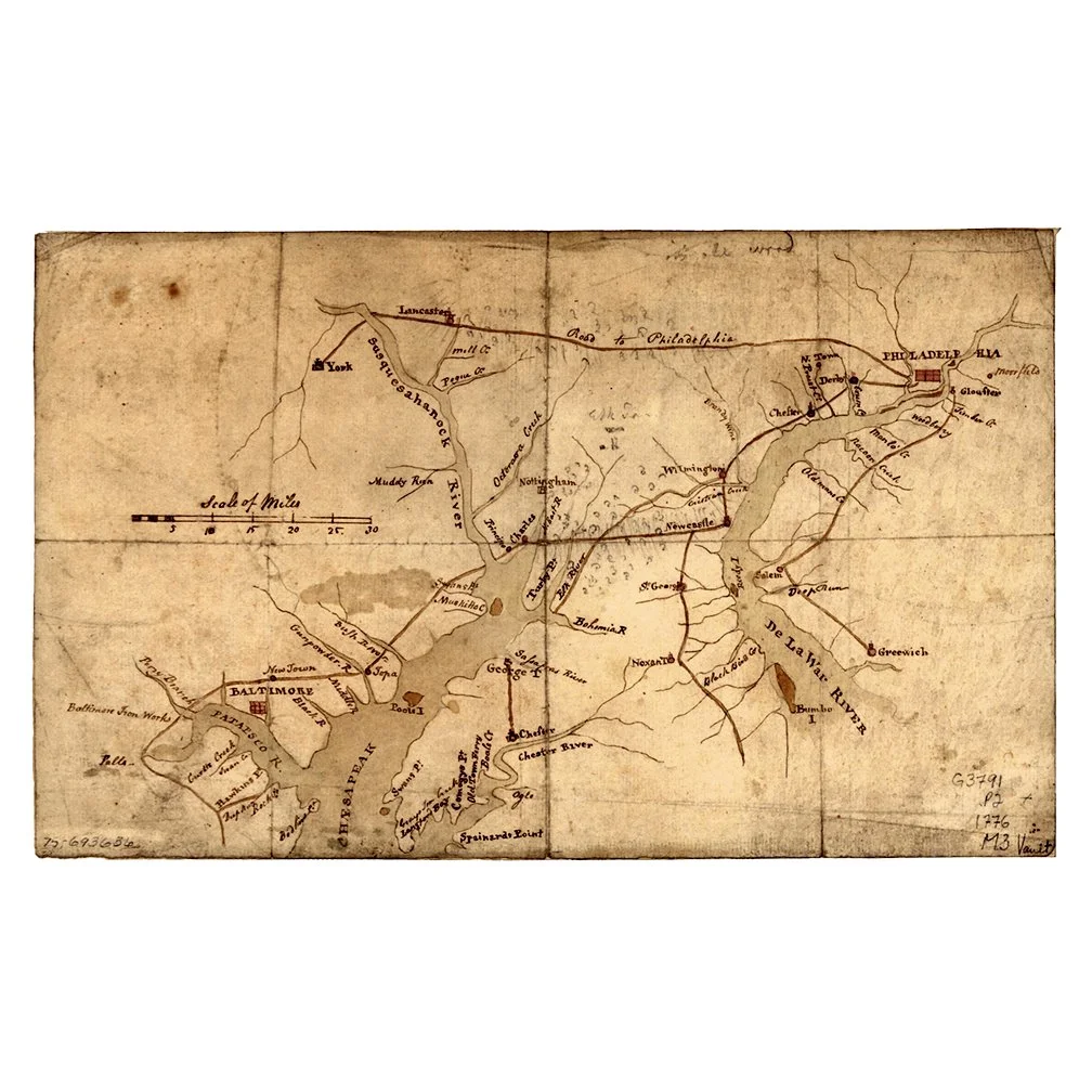
Map of United States of America, d.1783
$75.00
Reproduction Print Giclée
18"W x 14 1/2"H
Quantity:
Thomas Kitchin, Hydrographer to the King, prepared the map for a special publication by Thomas Cadell. One of the earliest obtainable English Maps to name (and recognize) the newly independent United States of America
The map shows the United States extending to the Mississippi River, with the former colonial claims now Independent States. The states of Georgia, South Carolina, North Carolina, and Virginia stretch from the Atlantic to the Mississippi. The map is filled with information on early settlements, forts, Indian villages and fishing banks.